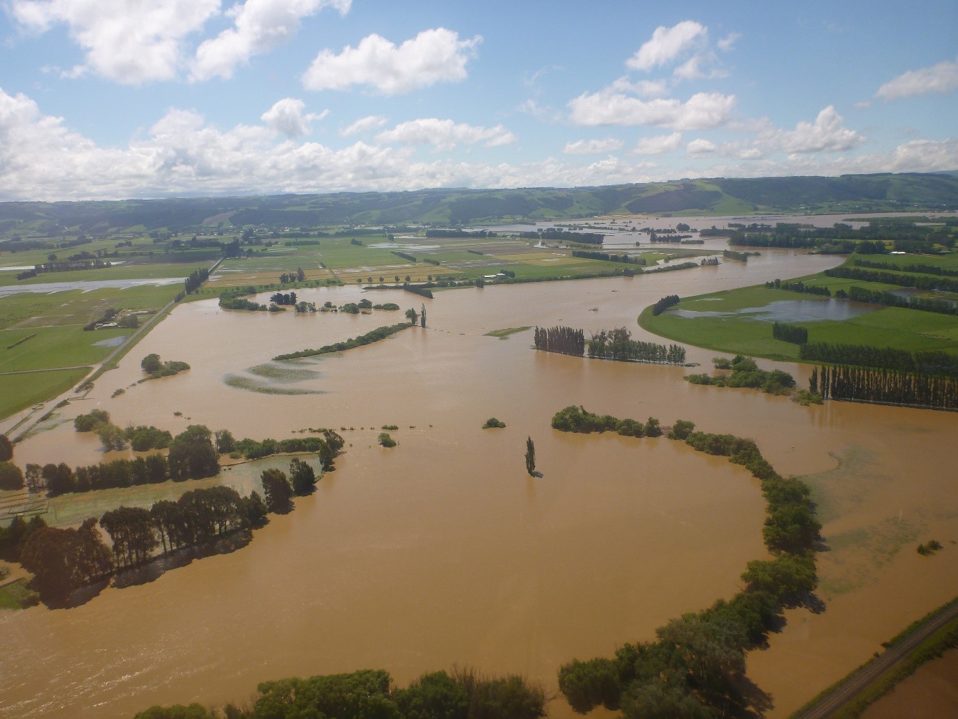
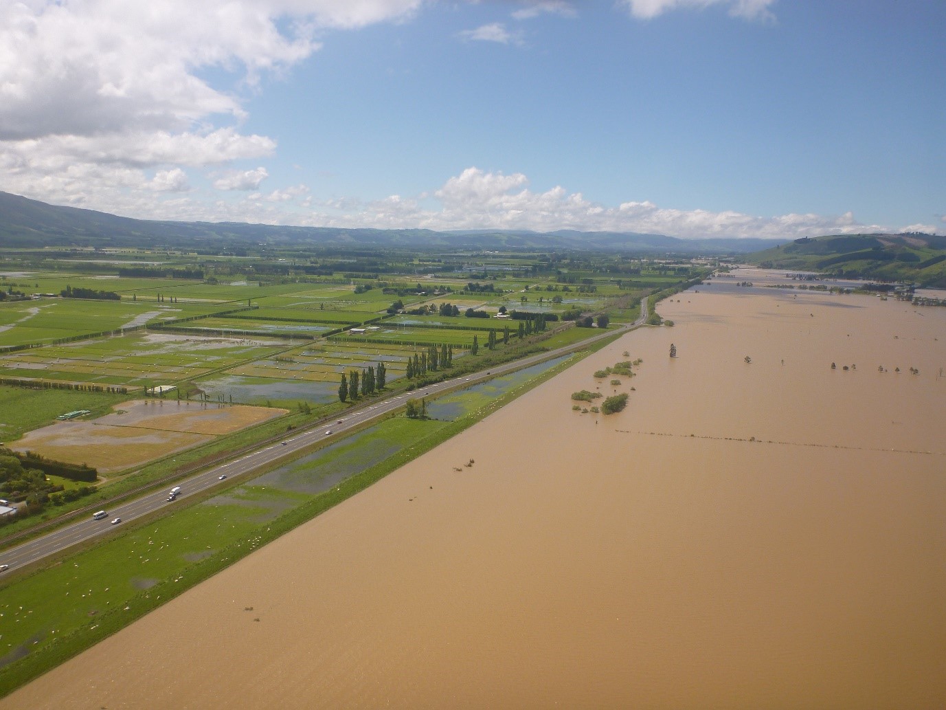
ORC begins review of Taieri Flood Protection Scheme

Media Release - 23 November 2021

The Otago Regional Council has taken the first step towards a wide-ranging review of the performance of critical flood infrastructure built to provide a level of protection to farmland, food growing, key infrastructure and urban areas from the lower Taieri River and main tributaries during heavy rainfall events.

In parts, the lower Taieri Flood Protection Scheme is up to 150 years old and faces numerous pressures. These include ageing infrastructure, growth and development within the floodplain, changing river dynamics, and climate change.

ORC is starting preliminary public engagement about the performance of the scheme with a workshop in Outram at the West Taieri Rugby Club on December 1. The aim of the workshop (11am-1pm and 5.30pm-7.30pm) is to gather knowledge from all parts of the community, including both urban and rural property owners, to help the Council assess the performance of the scheme and develop possible solutions for maintaining a level of service into the future.      

Significant works to update the flood protection scheme have been planned in ORC’s Long Term Plan from 2021 to 2031, and its Infrastructure Strategy from 2021 to 2051. The detail of these works will be based on the outcome of this scheme review.

Taieri Flooding

“We live in a rapidly changing environment, including changing river dynamics, which means we need to constantly review our protection against the hazards that nature throws at us, taking into consideration the requirements of Te Mana o Te Wai and the health of our operating environment,” said Manager Engineering Michelle Mifflin.

A large flood event can impact not only the adjacent farming communities, but also urban residents, key infrastructure such as the Dunedin Airport, and the wider economy.

“This workshop is only the first step in the review process for this particular scheme, and other scheme reviews in Otago will follow in due course. Following this community workshop, we will commence a comprehensive and more detailed feedback process, most likely involving further community meetings. We know that the community in this area are highly invested in the work that we do, because it can impact their homes and livelihoods.

“At this early stage, we just want to reach out and let people know this will be a collaborative process between ORC and local communities. We want to listen first, and encourage participation in this process as it progresses over the next eight months,” Ms Mifflin said.


Some facts about the lower Taieri Flood Protection Scheme:

  • The total catchment area of the Taieri River is 565,000 hectares.
  • The flood protection scheme for the lower Taieri provides a level of protection against the damaging effects of flood events to an area of approximately 13,000 hectares.
  • The lowest parts of the plains (excluding drains and ditches) lie about 1.5m below mean sea level.
  • Approximately 6,082 hectares of the land protected by the lower Taieri Flood Protection Scheme is at or below 1 metre above mean sea level.
  • The scheme includes 107km of floodbanks and associated infrastructure that links in with the East and West Taieri Drainage Schemes.
  • The Waipori River, Silver Stream and Owhiro Stream are also significant tributaries that form part of the scheme.
  • The first of its infrastructure was laid down as far back as 1870, and much more was added over decades to improve protection for the local community.


The workshop will be held on Wednesday 1 December at the West Taieri Rugby Club in Outram, 11am-1pm, and 5.30-7.30pm. Anyone who is interested or may be affected by the flood protection scheme is welcome to join the workshop.

You can find and share the Facebook event here.


Photo opportunity

We can arrange a photo opportunity with staff if required for your story.

Please get in touch with Communications contact below for details.


Communications contact

Asuma Bainbridge-Zafar
ORC Communications Advisor
asuma.bainbridge-zafar@orc.govt.nz
027 214 0873

Taieri Flooding

Back to top
Online Maps & Data: