Thursday 20 August 2026
12 noon
Venue: Te Pou Ō Mata-Au | Clutha District War Memorial & Community Centre, 4/6 Clyde Street, Balclutha.
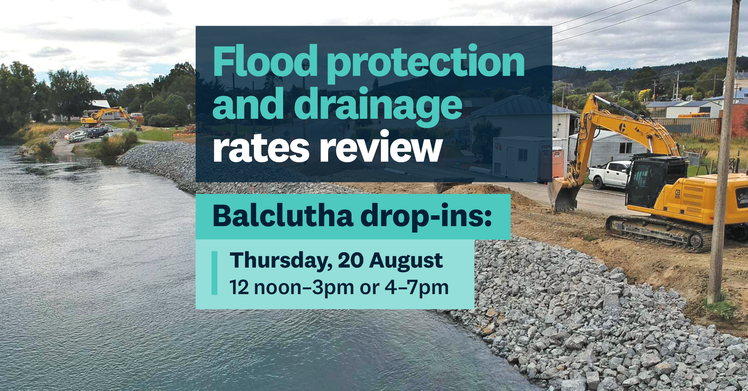
Join us for the afternoon session in Balclutha to learn more about proposed changes to Lower Clutha flood protection and drainage costs, ask questions and have your say. An evening session is also available.
The Otago Regional Council is reviewing how the costs of the Lower Clutha Flood Protection and Drainage Scheme are shared between the properties that benefit from it.
Come to one of two community drop-in sessions in Balclutha on Thursday, 20 August, where you can listen to a presentation, ask questions and learn more about the proposed changes.
Location: Te Pou Ō Mata-Au | Clutha District War Memorial & Community Centre, 4/6 Clyde Street, Balclutha.
Date: Thursday 20 August 2026
Time: 12 noon–3pm (presentation at 12.30pm)
This is a drop-in session — you can come by anytime between noon and 3pm.
The presentation will cover:
what’s being reviewed
what we are trying to achieve
how the proposed rating approach works
what the benefit zones look like for your scheme
how to make a submission.
Our Engineering team will be there to answer your questions.
Can't make it? No worries. You can watch a presentation, check the rates estimator, view scheme boundary changes, and then share your feedback at: 👉 orc.govt.nz/schemerates
Come and learn more about the Lower Clutha/Mata-Au and Lower Taieri Flood Protection and Drainage Scheme Rating Model Review.
See you there!
Date | Time | Location |
|---|---|---|
Thursday 20 August | 12pm–3pm | Te Pou Ō Mata-Au | Clutha District War Memorial & Community Centre |
Thursday 20 August | 4pm–7pm | Te Pou Ō Mata-Au | Clutha District War Memorial & Community Centre |
Monday 24 August | 11am–2pm | Taieri Bowling Club |
Monday 24 August | 4pm–6.30pm | Taieri Bowling Club |
Tuesday 25 August | 11am–2pm | West Taieri Rugby Club |
Tuesday 25 August | 4pm–6.30pm | West Taieri Rugby Club |
The Lower Taieri Plain has a long history of flooding, and development of drainage and flood protection works goes back to the early 1900s.
The East Taieri Drainage Scheme, divided by Silver Stream, directs northern drains to the Upper Ponding area and southern drains to the Lower Ponding area. Low Taieri River flow uses gravity drainage; high flows need pump stations.
The West Taieri Drainage Scheme, part of the Lower Taieri Flood Protection Scheme, is bordered by the Taieri River, Lake Waipori, and the West Taieri Contour Channel. Unlike other schemes, it relies entirely on pump stations at Waipori, Henley, and Lake Ascog due to its low elevation, often at or below sea level.
The Lower Clutha Delta Scheme mitigates flooding and drains 9,300 hectares from north of Balclutha to the sea. The Clutha River, splitting into Koau and Matau branches, and other water sources contribute to the flow
