Otago Regional Council has identified minor errors in the consultation’s Statement of Proposal document, however all other information shared with the community has been confirmed as correct, including the rates estimator, interactive maps, and summary information on the ORC website.
Errors in the Statement of Proposal document relate to the drainage scheme boundaries and benefit zones, information about properties partly within a scheme, and some estimated rate figures in summary tables. These are:
Lower Taieri drainage scheme boundary and benefit zones: maps showing some land north and north-east of Outram as being proposed for inclusion when it should not be.
Properties partly within a scheme: A section explaining how properties that cross a scheme boundary or flood protection zone are treated was missing in the document.
Estimated Lower Taieri drainage rates: The amounts shown on a graph were slightly higher than they should have been.
Stirling estimated rate: The estimated rate for a rural property in Stirling (CV: $2,000,000 Land area: 500,000m2) was shown as $5,730. This has been corrected to $6,880.
ORC General Manager Science and Resilience Tom Dyer says Council is committed to being open about the errors and ensuring people have enough time to consider the information before making a submission.
“We apologise for any concern this may have caused. These errors were identified through our ongoing review of the information supporting the consultation. While it’s disappointing to find mistakes like these, people can be reassured that we have checked and can confirm that the rest of the information is accurate.
Website data show that most visits to the rates review webpage (linked later in this release) have been to the rates estimator and interactive maps, while a much smaller number of people have accessed or downloaded the Statement of Proposal document. This means that most people looking for information on our rates review have been viewing material that does not contain errors.
While updating the document, the opportunity was taken to improve some supporting information and formatting.
“In recognition of the information being updated, we have extended the consultation period by two weeks to allow people who have already made a submission to review the corrected information if they wish to, and anyone who has not yet made a submission to take advantage of the additional time,” Mr Dyer says.
Submissions on the proposed changes will now close at 11.59pm on Friday 25 September 2026, rather than 11 September.
What is the rates review about?
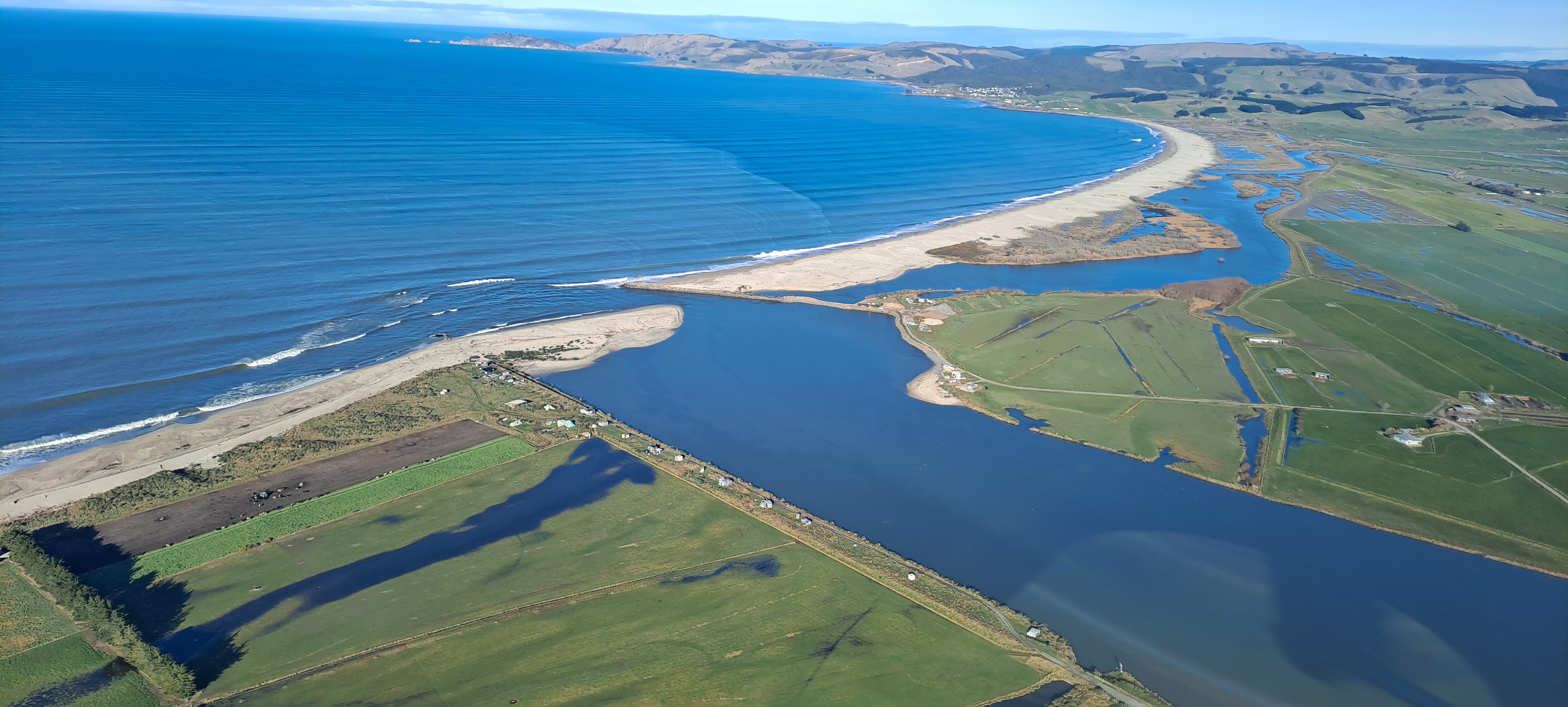
The review proposes changes to how the costs of the Lower Clutha/Mata-Au and Lower Taieri flood protection and drainage schemes are shared. The proposed approach would separate flood protection and drainage costs, with flood protection costs based on the level of benefit a property receives and drainage costs based on factors including land area, land use, and drainage demand.
People are encouraged to use the rates estimator and interactive maps to understand how the proposed changes may affect their property. The corrected Statement of Proposal will be made available at orc.govt.nz/schemerates as soon as possible.
All submissions will be considered by Council before a final decision is made.