ORC’s Science and Resilience portfolio co-lead, Councillor Gretchen Robertson, says the new Lindsay Creek flood hazard investigation provides a comprehensive update of existing information regarding the presence, extent, and severity of river flood hazards within the Lindsay Creek catchment and North East Valley.
“It refines the understanding of potential flood risks and provides updated detailed flood hazard information that can support ORC and communities in making informed decisions and implementing effective floodplain management practices,” Cr Robertson says.
At a full Council meeting on Wednesday, 23 September Council noted/endorsed the approach to begin community engagement.
In November 2024, the ORC’s Safety and Resilience Committee endorsed the need to revisit a programme for investigations into reducing the flood risk in North East Valley.
Cr Robertson says this work will inform the flood risk reduction investigations and the emergency flood responses.
The next stage of investigations is to develop a Flood Risk Reduction Plan for the Lindsay Creek catchment by June 2027. An “optioneering” approach is proposed, including a long-listing stage with opportunity for community and stakeholder input.
Cr Robertson says past flood protection options will be re-examined, as well as taking a fresh look at other possible responses.
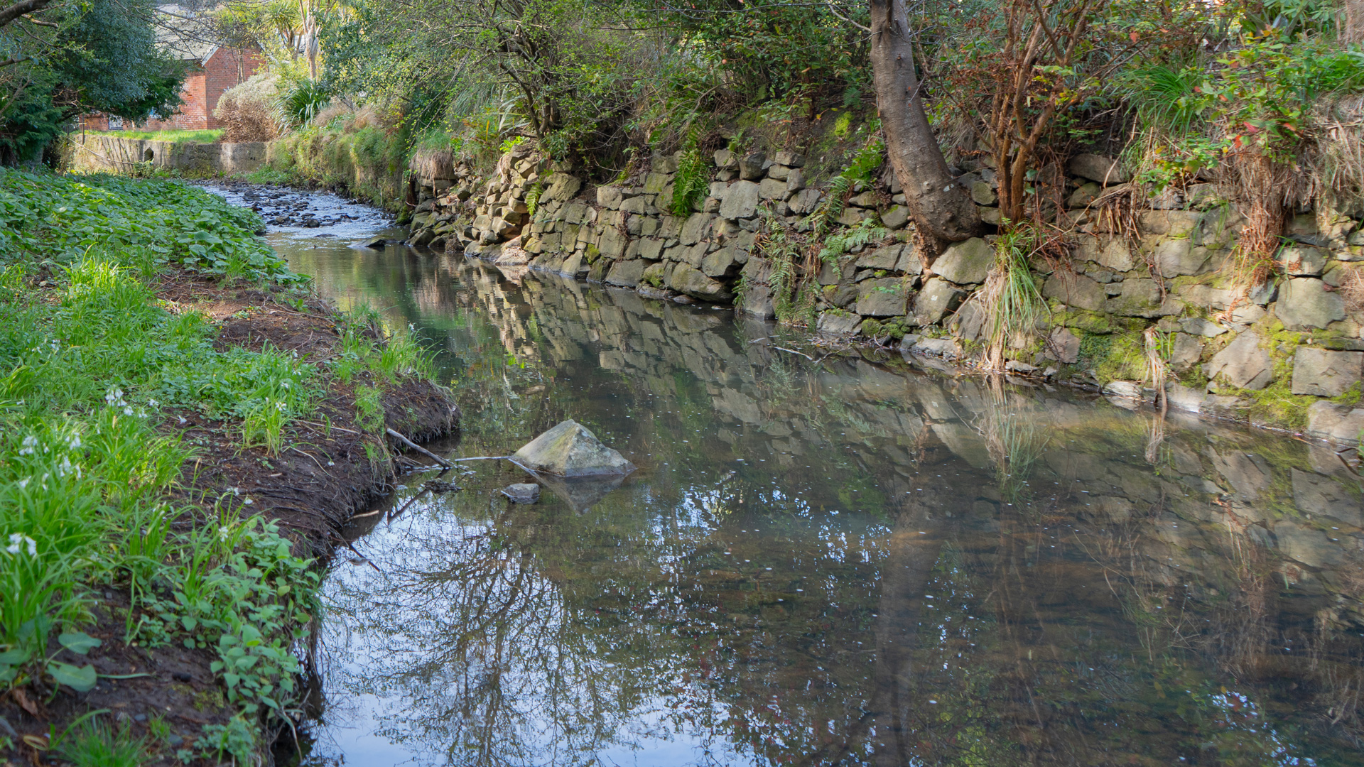
Lindsay Creek rises on the flanks of Mount Cargill and runs southwest, draining North East Valley and joining the Water of Leith at the Botanic Gardens. The catchment is compact with an area of about 12km2, and the main channel is relatively short being about 7km long. Lindsay Creek has a relatively narrow channel including in the lower sections, at times only a few meters wide.
The flood hazard is assessed by considering the combined effects of floodwater depth and flow velocity, recognising that the severity of the hazard to people, vehicles, and structures is influenced by both the depth and the speed or velocity at which floodwaters are moving. While shallow, slow-moving water generally presents a lower hazard, increasing depths and velocities can significantly increase the potential for instability, structural damage, and risk to life.
Several hundred residential properties and several thousand people have some degree of exposure to flood hazard in North East Valley and can be directly or indirectly impacted by flooding.
It can be as little as two hours from the onset of heavy rain to flooding occurring. This leaves a very limited ability for residents and Emergency Services to plan a response during a heavy rainfall event. Precautionary evacuation is also a matter usually considered in response to a heavy rainfall event, the report says.
During flood events, Lindsay Creek can overflow its channel and flood adjoining low-lying land in North East Valley. The extent of flooding and its characteristics vary with the size of flood event.
Most of the stormwater network in North East Valley discharges into Lindsay Creek. During heavy rainfall events, high water levels in Lindsay Creek will prevent the free discharge of the stormwater network, which can overflow and contribute to surface flooding, compounding the effects of river flooding, the report says.
ORC will be sharing the findings with the community, stakeholders, mana whenua representatives during October. The new flood hazard information and associated report, a plain-language summary and map layers will be made available through the ORC Natural Hazard Portal and ORC webpage soon.
Stay tuned to our Facebook page for more details about the upcoming community meeting.