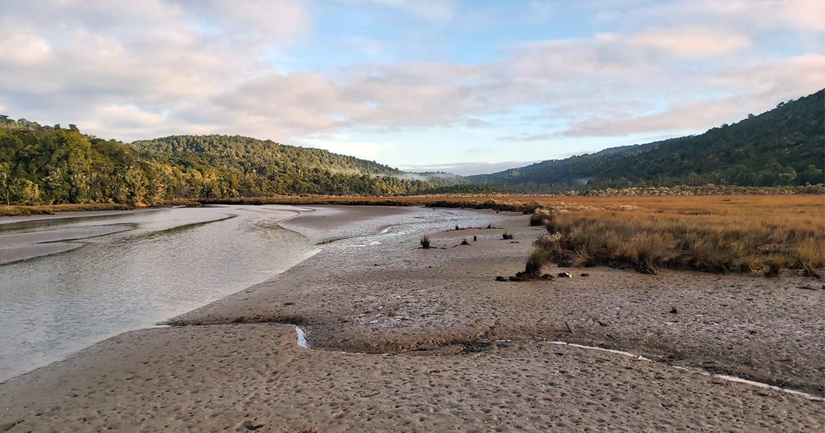
What do healthy rivers, thriving wildlife, productive farms, tourism, recreation, and strong communities all have in common? In Otago, they’re all connected.
That's the thinking behind Otago Regional Council's Integrated Catchment Management (ICM) Programme — a region-wide approach to bringing communities, mana whenua, agencies and organisations together to care for the places we all depend on.
Using a ki uta ki tai (mountains to sea) approach, ICM recognises that freshwater, estuaries, coastlines, biodiversity, land, air, climate resilience and people are all part of one connected system. What happens upstream affects everything downstream, so protecting and enhancing our environment works best when we plan and act together.
Through the ICM programme, ORC co-develops Catchment Action Plans (CAPs). These long-term, non-regulatory plans build on the many great projects already happening across Otago, helping connect people, share knowledge, identify opportunities and coordinate practical action where it will have the greatest impact.
Rather than starting from scratch, each Catchment Action Plan draws together science, local knowledge and mātauraka Māori (when gifted) to identify shared environmental values, understand the pressures affecting them, and agree on actions that will improve catchment health over time.
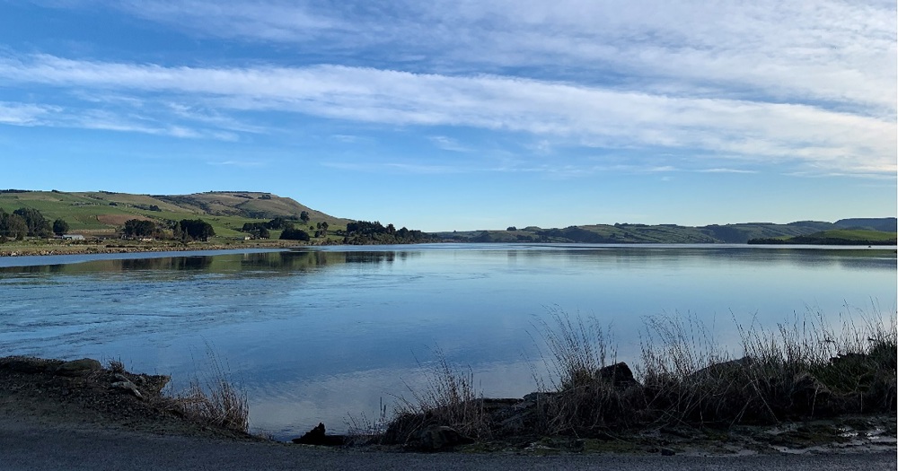
Following endorsement through ORC's 2021–31 Long-Term Plan, Catchment Action Plans have been completed for The Catlins and Upper Lakes, with plans underway or soon to begin across the rest of the region.
In March 2026, ORC accelerated the programme so every part of Otago will have a Catchment Action Plan by December 2027 — almost two years earlier than originally planned.
Success is measured not by the production of a plan, but by actual environmental improvements that reflect community aspirations, stronger partnerships, and practical outcomes across the catchment.
The goal is simple: support community-led action that delivers healthier environments and stronger communities for generations to come.

North Otago Catchments Action Plan
The ORC is establishing a North Otago Catchment Group to help co-develop the Catchment Action Plan (CAP), focused on protecting and enhancing ecosystems across the whole area - from the mountains to the sea (ki uta ki tai).

Dunedin Coastal
The Dunedin Coastal Integrated Catchment Group is supported by Otago Regional Council to put their Catchment Action Plan into action. This covers from Macraes in the northwest, Waikouaiti in the northeast, and to the Taiari/Taieri river mouth in the south.

The Catlins
The Catlins Catchment Action Plan Governance Group is supported by Otago Regional Council to put their Catchment Action Plan into action. This covers the Otago area of The Catlins and its coastal waters.

Upper Lakes
The Upper Lakes Integrated Catchment Group has been supported by the Otago Regional Council to create a Catchment Action Plan for the Upper Lakes area. The Group will shortly be putting their plan into action.

Taiari / Taieri
The Taiari / Taieri Integrated Catchment Group will be supported by the Otago Regional Council to create a Catchment Action Plan for the Taiari area and its coastal waters.

Inland Mata-au/Clutha Catchment Action Plan
The Inland Mata-au/Clutha Integrated Catchment Group is supported by Otago Regional Council to put their Catchment Action Plan into action. This covers the Central Otago portion of the Mata-au/Clutha and connected catchments, including the Nevis and Lindis to Dunstan, Ida Valley and Manuherikia to Alexandra and through Roxburgh to Millers Flat.

Lower Mata-au/Clutha Catchment Action Plan
The Lower Mata-au/Clutha Integrated Catchment Group is supported by Otago Regional Council to put their Catchment Action Plan into action. This covers the Clutha District portion of the Mata-au - from Beaumont to the Mata-au/Clutha mouth and coastal waters up to Taiari/Taieri Mouth, along with connected catchments, including the Pomahaka and Tokomairiro.
Integrated Catchment Management is community focused, action-oriented and integrated across landscapes to improve our environment.
By the end of 2027, all of Otago will have Catchment Action Plans (CAPs), providing a coordinated framework that integrates our work across freshwater, biodiversity, and land at a whole-of-catchment scale. All Catchment Action Plans will be developed with and owned by local communities with ORC’s support.
The ICM programme works by:
Taking a landscape-scale approach rather than addressing issues in isolation
Supporting the alignment of the priorities of communities, mana whenua, agencies, and ORC
Supporting ongoing CAP refinement and planning and can support delivery of actions that the plan identifies.
Using structured collaborative planning processes to codevelop Catchment Action Plans
Informing future work programmes and investment decisions
Monitoring actions and environmental changes to make sure Catchment Action Plans and actions are effective.
The goal is to produce plans that support on-the-ground action, coordinated investment, and measurable environmental improvements over time. The plans are adaptable documents, designed to be reviewed and updated as circumstances change and lessons are learned.
A Catchment Action Plan (CAP) is a long-term, non-regulatory framework for environmental action.
Each CAP looks at catchment systems — including freshwater, biodiversity, land, air, coastal environments, and community wellbeing — to identify shared goals and prioritise practical actions.
CAPs:
Build on existing work already happening in the catchment
Draw on our technical teams, community insight and matauraka to ensure decisions are based on a broad knowledge base.
Identify environmental values, pressures, and root causes
Use a framework called Conservation Standards to ensure actions target key pressures and are achievable.
Prioritise practical actions and opportunities
Align effort and investment across organisations
Inform ORC’s wider work programmes
CAPs are spatially informed, evidence-based, and designed to guide coordinated delivery over approximately 10 years.
No. Catchment Action Plans are non-regulatory and do not create new rules.
CAPs work beyond existing regulations by supporting practical action, partnerships, and coordinated investment. While they align with relevant legislation and planning frameworks, such as regional plans, they are not compliance tools.
Instead, CAPS help us work together to achieve better environmental outcomes through shared, voluntary, collective action, supported by ORC work programmes and wider investment opportunities.
People are invited to express their interest in forming an Integrated Catchment Group. This group co-develops the CAP through a series of collaborative workshops.
Membership is designed to reflect the diversity of the catchment and may include:
Farmers and representatives from the wider agricultural sector
Tourism operators
Local businesses
Infrastructure providers
Community and catchment groups
Environmental practitioners and ecosystem specialists
People with strong local knowledge, lived experience, or interest in supporting catchment outcomes.
Each CAP is developed through a structured series of six collaborative workshops using the Conservation Standards framework that:
Establish shared values and a long-term vision
Identify catchment health and current conditions
Look at key pressures on catchment values, the drivers, and root causes of those pressures
Identify points where actions can intervene to protect and enhance the value
Prioritise strategic actions and opportunities to protect and enhance the environment
Build governance and plan foundational actions.
Throughout the process, the wider community can contribute through public surveys, engagement opportunities, and site visits, ensuring that people who cannot participate directly in workshops can still have their views heard.
Each CAP is supported by a suite of accessible resources, including:
A detailed Catchment Action Plan
Community-friendly summary brochures
StoryMaps and online engagement tools
A website with maps, and dashboards
Access to ORC technical expertise
Plan review and adaptive management cycles
Together, these resources enable everyone to see the agreed actions, who is responsible for delivering them, and how progress is being tracked. They also support regular reviews, so plans remain relevant and responsive to changing circumstances.
You can access and download our completed CAPs here:

November 2024
PDF | 6 MB
The full, comprehensive document that details what we want to enhance and protect, and outlines the first steps in doing that.

October 2025
PDF | 6 MB
The plan spans a 10-year timeframe (2025–2035) with initial actions prioritised for the first 3–5 years. Spatially, the Upper Lakes CAP area aligns with QLDC boundaries. The area includes Whakatipu Waimāori (Wakatipu), Wānaka, Hāwea, Waiwhakaata (Lake Hayes), the upper Kawarau River, Ōrau (Cardrona River), the Upper Mata-Au (Clutha River) and Hāwea Flat.
Once a CAP has been completed, implementation can begin.
Governance groups, or equivalent partnership structures, help oversee delivery by:
Guiding prioritisation of actions
Supporting coordinated investment
Assisting to track progress on actions
Maintaining community and mana whenua partnership
Supporting adaptive management over time
Email the ICM team icm@orc.govt.nz or phone 0800 474 082