Lower Clutha Flood Protection and Drainage Scheme
Flood protection in the Lower Clutha area is crucial — for people’s safety livelihoods, land, and infrastructure. ORC manages a major flood protection and drainage scheme that reduces flood risk and supports land drainage across nearly 9,300 hectares — including Balclutha, Kaitangata and Stirling.
Built between 1960 and 1991, the scheme includes 110 km of floodbanks, 153 km of drains and 189 culverts.
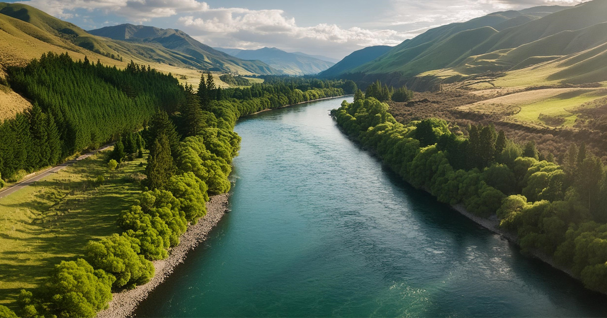
It helps protect this low-lying delta from the Clutha River/Mata-Au’s powerful flows, which split into the Koau and Matau branches downstream of Balclutha.
Floodbanks and drainage are also in place to protect the delta from other waterways like the Puerua and Waitepeka Rivers.
The Lower Clutha scheme covers a constantly changing river system and landscape. Along with floodbanks and drains, it includes a floodway through Inch Clutha, which is designed to safely carry extra water during major floods, helping reduce pressure on the main river channels and protect nearby areas from flooding.
The scheme is divided into four areas (Barnego, Stirling/Kaitangata, Inch Clutha, and Otanomomo/Paretai). This division allows for tailored flood management strategies and infrastructure based on the specific needs of each area. This increases the effectiveness of the scheme and is essential to keeping land productive and communities safe.
We maintain this infrastructure year-round to ensure it performs well, and we’re also planning ahead looking at possible future upgrades such as floodbank realignments.
Tokomairiro Drainage Scheme
The Tokomairiro Drainage Scheme drains the low-lying farmland in the Tokomairiro area around Milton and reduces the impact of flooding on Milton and its surrounds. The scheme consists entirely of open drains, with culverts and bridge crossings.
River management
We manage rivers to reduce the risk of flooding and keep waterways healthy. In the Clutha catchment, that includes the Mata-au / Clutha River and Pomahaka Rivers. Our work supports the protection of people and property while maintaining the existing ecosystem.
Flood repairs
We are repairing 26 damaged sites across the Lower Clutha and Tokomairiro schemes impacted by the 2022 and 2024 floods. Repairs at 16 sites have been completed with 10 still underway — including a major repair at the Koau Training Line at Puerua which is progressing well.
Planning for future risks
The Clutha Delta faces increasing challenges from natural hazards like flooding, coastal erosion and earthquakes. With climate change adding pressure, ORC has launched the Clutha Delta Natural Hazards Adaptation Programme — a long-term project to understand these risks and working with the community on possible responses.
We’ll be asking locals what matters most so we can plan for a safer future together.
Local liaison groups
The community will have the chance to have an active role in guiding work on these flood and drainage schemes.
Establishment of a community liaison group for the Lower Clutha is planned for later in 2025. More details, including how to get involved, will be available later this year. A community liaison group for the Tokomairiro Scheme will be established in 2026.
Other flood protection in Balclutha
Not all flood protection, land drainage and river management infrastructure is owned, controlled or maintained by ORC.
The Hospital Creek floodbank, near Hospital Road, is operated by Clutha District Council. It is part of the stormwater system and is separate to the larger ORC floodbank scheme.
Balclutha and Finegand have separate local drainage systems not operated by ORC.