Earthquakes happening within and outside of our region can affect the people and properties of Otago.
The risk of damage from earthquakes depends on the magnitude, frequency, nature of the earthquake, distance from earthquake focus, and the type of ground.
Seismic activity can cause ground shaking, surface rupture, liquefaction (settlement of soil), landslides and lateral spread of sediments towards bodies of water. It can also cause tsunamis.
How should I prepare in case of an earthquake?
Visit the Otago Civil Defence and Emergency Management website for information on how to prepare for an earthquake.

Is my property going to be affected by an earthquake?
The Otago Natural Hazards Database provides information about the types of ground, areas that might be affected by liquefaction, and the likelihood and intensity of ground shaking across our region. The database also shows the location of known active faults in Otago.
Active fault is a fracture or zone of fractures between two blocks of rock that have moved relative to each other in the past and are likely to move again sometime in the future, causing earthquakes. Large faults in the Earth’s crust result from the action of plate tectonic forces. Energy released from rapid movement on active faults is the cause of most earthquakes.
Earthquake epicentre is point on the Earth’s surface directly above the focus of the earthquake.
Earthquake focus is the point where the earthquake originates inside the Earth’s crust.
Earthquake-induced tsunamis are tsunamis caused by under-sea earthquakes. Large under-sea earthquakes (magnitude of more than 8) can affect Otago’s eastern coastlines, causing displacement of large volumes of water and triggering tsunamis. More information about tsunamis can be found here.
Frequency is the rate at which an earthquake event is expected to occur over time.
Ground shaking is caused by the movement of seismic waves through the earth’s crust and is the most recognised seismic hazard. The intensity of ground shaking felt at any location during an earthquake depends on the underlying ground conditions, distance from the focus and epicenter of the earthquake, and the magnitude of the event. The stronger the shaking, the greater the impact on people and the environment, both built and natural.
Landslides are the movement of a mass of rock, debris or earth down a slope. Ground shaking from large earthquakes can trigger the movement of existing landslides or generate areas of new movement on slopes that are already unstable.
Lateral spreading is a liquefaction-induced ground failure that causes deformation and spreading of ground sediments, often towards water bodies such as lakes and/or rivers.
Liquefaction is a natural process triggered by earthquake shaking that causes the ground to temporarily lose its strength and behave like a liquid or jelly. This can cause major deformation of the ground surface, resulting in potentially significant damage to land, buildings and infrastructure. Areas with unconsolidated sediments, soils, and high groundwater tables have a high risk of exposure to liquefaction. Locations close to active faults have a higher risk exposure to liquefaction due to more intense ground shaking. Read more about liquefaction in this resource from Water New Zealand.
Magnitude is the size of an earthquake.
Plate Tectonics is the theory that the earth’s crust is composed of many large, thin, rigid plates that move relative to each other. Slip on the faults that define plate boundaries can result in large earthquakes.
Seismic activity is the frequency, type, and size of earthquakes experienced over a period of time.
Surface rupture usually only occurs at places where a fault meets the land surface. The land surface may move horizontally (side to side) or vertically (up or down) depending on the type of fault. Surface rupture can cause extensive damage, including to transport infrastructure, homes, floodbanks and drainage channels, as well as the natural environment.
Types of ground can be classified into, rock, shallow soil, deep or soft soil, and very soft soil.
More resources on the Alpine Fault

Alpine Fault
The Alpine Fault runs along the South Island's tectonic plate boundary, posing significant earthquake risks. Learn how the Otago Regional Council monitors this fault, predicts potential quakes, and prepares communities for the impacts. Discover key information from Professor Tim Davies on the expected strength, location, and effects of future earthquakes along the Alpine Fault.

Discovering the Alpine Fault
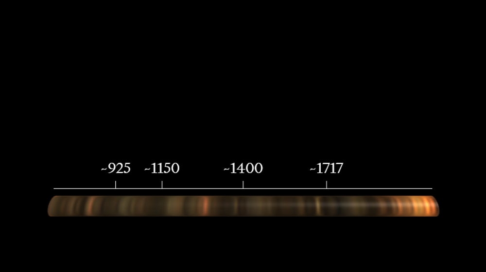
We've known about the Alpine Fault for around 80 years. That's before satellite photographs or plate tectonics.

AF8 Hazard Scenario
This StoryMap shares a credible science-based hazard scenario developed by AF8 to help us plan and prepare for an Alpine Fault earthquake.
Faultlines
Documentary on the Alpine Fault