-
-
-
-
Clutha River
-
-
-
-
-
-
-
An independent assessment of the Mata-Au Clutha riverbed at Balclutha has found that while features of the river have changed in recent years, there is no evidence of a widespread trend of rising bed levels or gravel buildup at Balclutha, or other changes that would cause an increased risk of flooding.
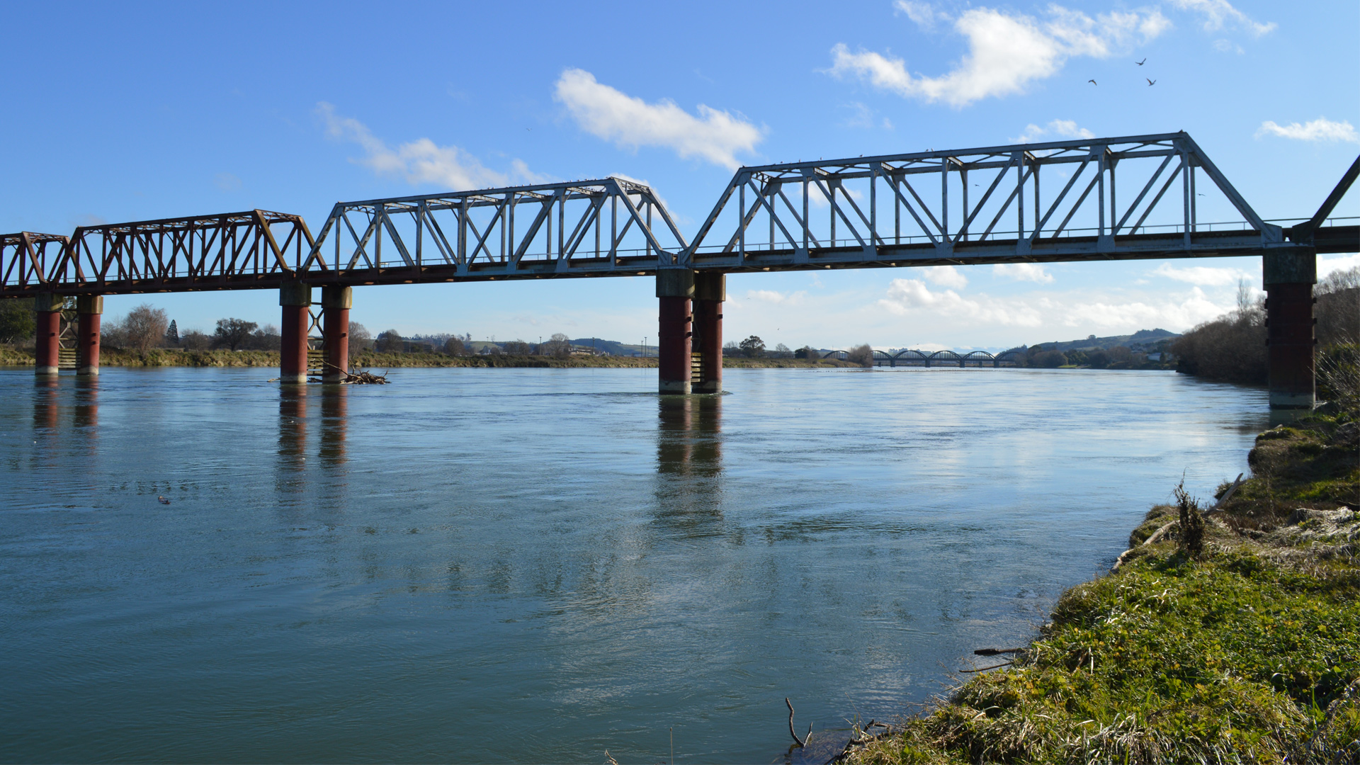
Otago Regional Council commissioned NIWA (now Earth Sciences New Zealand) to undertake an assessment of the river morphology – the shape of the river channel and how it has changed through time. The report analyses eleven surveyed cross section profiles of the river alongside Balclutha dated from 1994 to 2024, as well as other survey information dating back to 1878.
The assessment shows that in recent decades, the general trend is that riverbed levels at most locations have generally fallen or stayed at similar levels. There have been some changes such as gravel bars moving and these can appear larger or more prominent during periods of low river flows which may lead to perception of a gravel build up, but data shows that any gravel accumulation has been localised and relatively minor in scale.
The assessment gives us a solid understanding of the river in its current state and should give assurance to residents about what they’re seeing. We appreciate people getting in touch to share their observations about any changes they’ve seen in the river, local knowledge and reporting is important.
The assessment shows that mean riverbed levels are stable or falling at all cross sections except one (at the state highway bridge) where there is a weak rising trend. This local gravel accumulation has minimal to no impact on flood water levels and flood hazard.
Changes in the Clutha River/Mata-Au riverbed at Balclutha and in the wider Clutha Delta area are regularly monitored by ORC. If gravel builds up and did present an impact on the flood hazard, ORC will investigate the targeted removal of gravel. Gravel removal will need to be considered carefully, as removing gravel starves locations downstream which can cause erosion, including at the coastline and may affect flood protection infrastructure such as floodbanks.
As well as giving assurance about the state of the Clutha River at Balclutha, this assessment will also be used by ORC as information for our flood protection work. Monitoring of the Clutha River will continue.

March 2025
PDF | 6 MB
This assessment of the Clutha River / Mata-au looks at the shape of the river channel near Balclutha and how it has changed through time.

June 2025
Graeme Smart, Arman Haddadchi
National Institute of Water & Atmospheric Research Lt
2025196CH
PDF | 4 MB
In this report NIWA has analysed historical changes in Balclutha river bed levels to help understand any significant trends and to guide river management strategies into the future.