Friday 30 May 2025
A new report released by the Otago Regional Council (ORC) marks a major step forward in understanding how communities across Otago are exposed to natural hazards such as flooding, earthquakes, landslides, and tsunami.
The Otago Region Natural Hazards Exposure Analysis is the region’s first comprehensive assessment of where people, buildings, and critical facilities may be situated in areas potentially affected by one or more natural hazard types.
“This analysis provides a regional-scale, data-driven snapshot that will help guide how we prioritise future resilience projects and hazard investigations,” ORC’s Manager Natural Hazards, Dr Jean-Luc Payan says.
The report covers the entire Otago region and assesses exposure to nine key natural hazard types using regional-scale mapping and modelling datasets. It estimates the number of people, buildings, and critical community facilities (such as hospitals and emergency services) located in areas which may be exposed to natural hazards.
“This work is not about predicting when an event might happen,” Dr Payan explains. “It’s about identifying where exposure exists so we can make smarter decisions about resilience, planning and investment.”
Following presentation to council, work can begin prioritising areas and hazard types of most concern, working with communities, city and district councils to develop strategies to reduce risk.
The findings provide a critical foundation for ORC’s natural hazards prioritisation programme, scheduled to begin in the 2025/26 financial year. The information will also support:
The analysis will assist ORC and partner organisations, including Emergency Management Otago and territorial authorities, to focus natural hazard management efforts where they are most needed.
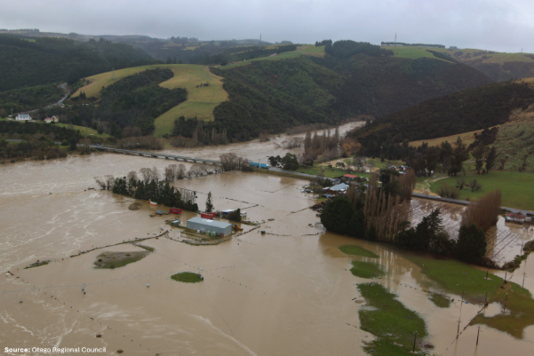
The natural hazards data used comes from ORC’s region-wide natural hazards mapping, developed using interpretation from aerial imagery and topography, and modelling. While it offers broad-scale insights, it does not replace local-scale studies or individual property hazard or risk assessments.
No new natural hazards investigation was completed for the exposure analysis project, the analysis was based on ORC’s existing natural hazards mapping data, which has been compiled over many years and is publicly displayed on the ORC Natural Hazards Portal.
“This is a living dataset,” says ORC Senior Natural Hazards Analyst, Tim van Woerden.
“As we gain access to more detailed information, we’ll continue refining the analysis.”
To avoid confusion or alarm, here are simple definitions of some key terms used in the report.
Exposure:
ORC will now use the findings of the natural hazard exposure analysis as one tool to help identify and prioritise the areas most exposed for further study and investment. The natural hazards prioritisation workstream is scheduled to conclude by mid-2026. Updates to the exposure report will be made as more refined data becomes available.