Lakes and rivers in the Clutha catchment have receded steadily after peaking on Sunday afternoon.
MetService has a heavy rain watch in place for Westland over the weekend.
Our predictions are that by the end of Monday—with the worst of the forecast weather—lakes could reach up to 311.1m for Lake Wakatipu (about 0.05m above its current level), and 279.9m for Lake Wanaka (about 0.4m above its current level).
These are considered high lake levels, but are comfortably below the peaks reached on Sunday afternoon (311.36m and 280.38m respectively).
Downstream, river flows are also steadily decreasing. ORC staff will continue to closely monitor the effects of rainfall on lakes and rivers while they remain high.
We are also taking the opportunity to survey debris lines, which show the heights on riverbanks reached by peak flows, and to validate our models for these relatively rare high flow conditions.
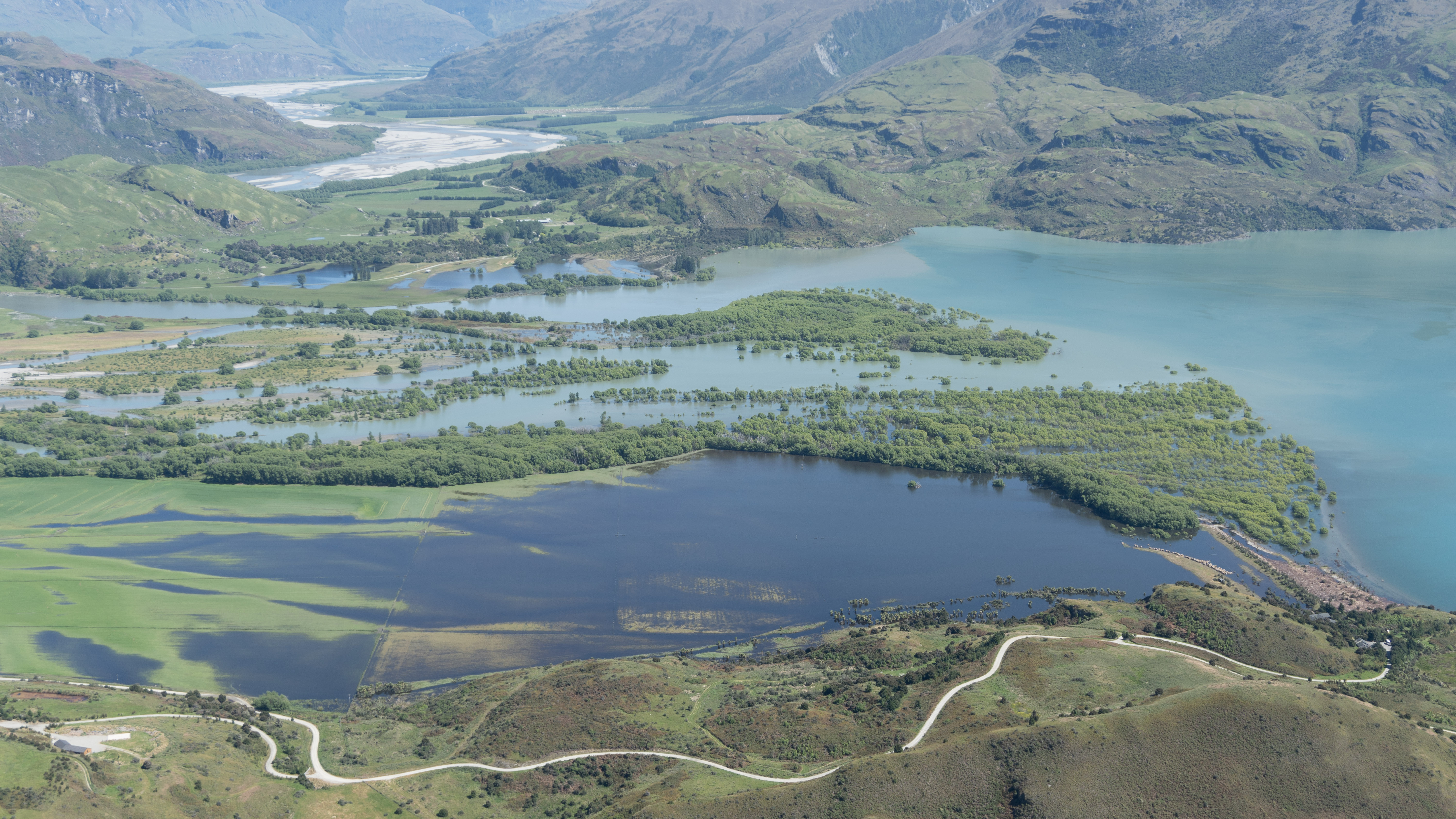
The inflow of the Matukituki River to Lake Wanaka, photographed by ORC staff around midday yesterday.
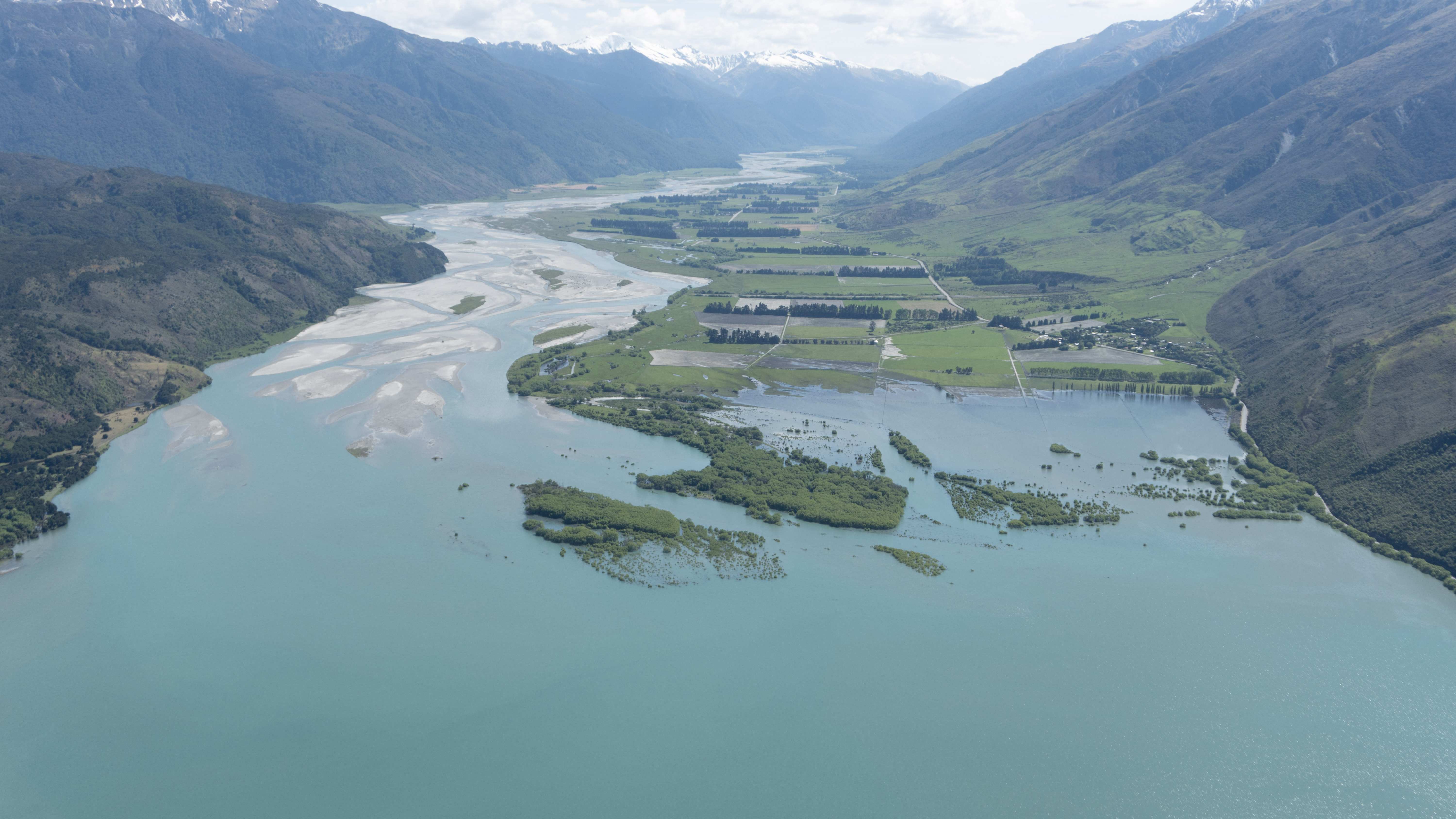
The inflow of the Makarora River to Lake Wanaka, photographed by ORC staff around midday yesterday.