Community event
South Otago flood protection — protecting what matters
Thursday 28 May 2026
3 pm - 7 pm
Venue: Te Pou Ō Mata-Au | Clutha District War Memorial & Community Centre, 6 Clyde Street, Balclutha
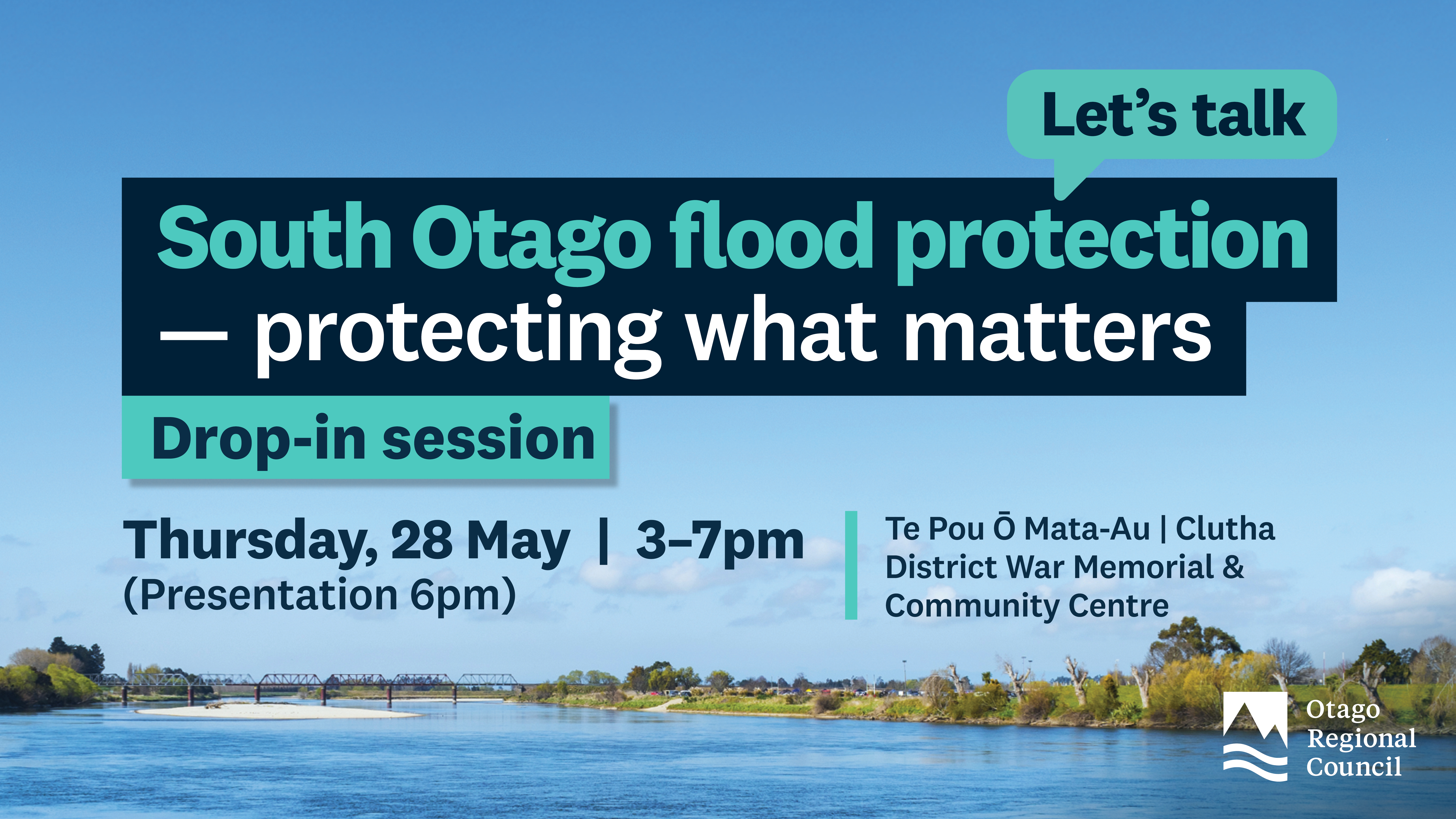
Community Drop-in Session
Thursday 28 May 2026
3 pm - 7 pm
Venue: Te Pou Ō Mata-Au | Clutha District War Memorial & Community Centre, 6 Clyde Street, Balclutha
Community Drop-in Session
Drop in any time and chat with the ORC team about:
Bring your questions and local knowledge — we’re here to listen.
Thursday 28 May 2026
3–7pm (with a presentation at 6pm)
Te Pou Ō Mata-Au
Clutha District War Memorial & Community Centre,
6 Clyde Street
Balclutha
You’ll find further information on these topics:
Flood protection in the Lower Clutha area is crucial — for people’s safety livelihoods, land, and infrastructure. ORC manages a major flood protection scheme that reduces flood risk and supports land drainage across nearly 9,300 hectares — including Balclutha, Kaitangata and Stirling.
Built between 1960 and 1991, the scheme includes 110 km of floodbanks, 153 km of drains and 189 culverts.
It helps protect this low-lying delta from the Clutha/Mata-Au’s powerful flows, which split into the Koau and Matau branches downstream of Balclutha.
Floodbanks and drainage are also in place to protect the delta from other waterways like the Puerua and Waitepeka Rivers.
The Lower Clutha scheme covers a constantly changing river system and landscape. Along with floodbanks and drains, it includes a floodway through Inch Clutha, which is designed to safely carry extra water during major floods, helping reduce pressure on the main river channels and protect nearby areas from flooding.
The scheme is divided into four areas (Barnego, Stirling/Kaitangata, Inch Clutha, and Otanomomo/Paretai). This division allows for tailored flood management strategies and infrastructure based on the specific needs of each area. This increases the effectiveness of the scheme and is essential to keeping land productive and communities safe.
We maintain this infrastructure year-round to ensure it performs well, and we’re also planning ahead looking at possible future upgrades such as floodbank realignments.
The Tokomairiro Drainage Scheme drains the low-lying farmland in the Tokomairiro area around Milton and reduces the impact of flooding on Milton and its surrounds. The scheme consists entirely of open drains, with culverts and bridge crossings.
We manage rivers to reduce the risk of flooding and keep waterways healthy. In the Clutha catchment, that includes the Clutha River /Mata-au and the Pomahaka River. Our work supports the protection of people and property while maintaining the existing ecosystem.
Ongoing flood recovery work is still happening, including a major repair at the Koau Training Line at Puerua which is progressing well. We’ll have more details and progress to share at the event.
A community liaison group for the Lower Clutha was established in 2025.
This group gives the community the chance to have an active role in guiding work on these flood and drainage schemes. There may be an opportunity to speak with a member of the group at the event.
The ORC is establishing an Inland Mata-Au/Clutha Integrated Catchment Group to help co-develop a Catchment Action Plan, focused on protecting and enhancing ecosystems across the whole area - from the mountains to the sea (ki uta ki tai).
Not all flood protection, land drainage and river management infrastructure is owned, controlled or maintained by ORC.
The Hospital Creek floodbank, near Hospital Road, is operated by Clutha District Council. It is part of the stormwater system and is separate to the larger ORC floodbank scheme.
Balclutha and Finegand have separate local drainage systems not operated by ORC.
Feel free to drop us an email to engineering@orc.govt.nz or call us on 0800 474 082

The Lower Clutha Delta Scheme mitigates flooding and drains 9,300 hectares from north of Balclutha to the sea. The Clutha River, splitting into Koau and Matau branches, and other water sources contribute to the flow

The Lower Clutha Flood Protection and Drainage Scheme Liaison Group connects the Otago Regional Council with local communities to improve flood protection and drainage in the Lower Clutha area, helping keep people and properties safer from floods.

The Tokomairiro Drainage Scheme protects low-lying farmland around Milton from flooding. Located in a flat basin surrounded by hills, it consists of open drains, culverts, and bridge crossings, but has no pumps or control structures. Many drains were once creeks that have been realigned.