Attributable to ORC Duty Flood Officer Lauren Hunter:
The Otago Regional Council (ORC) is monitoring the effects of rainfall on lake and river levels around Otago as heavy rain is falling throughout the region, including in the Otago headwaters and the Pomahaka, Lower Clutha, South Otago, Lower Taieri and Dunedin areas.
MetService currently have a heavy rain warning in place for the headwaters, Central Otago and Clutha district, and a heavy rain watch in place for Dunedin.
Lakes Wanaka and Wakatipu are rising. Monitoring instruments currently have Lake Wanaka at 277.6m and Lake Wakatipu at 310.2m. These levels are higher than normal, but no cause for alarm at this stage. Neither lake is expected to reach flood levels.
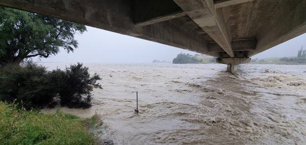
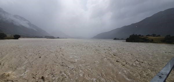
River flows are also rising as a result of the heavy and consistent rainfall. We are paying close attention to the Dart and Pomahaka rivers in particular, which are above high flow thresholds.
The current severe weather outlook from MetService indicates that heavy rainfall will move north from the southwest, covering the majority of region with the exception of North Otago tomorrow, Tuesday 4 February.
If needed, ORC will issue an updated media advisory on the rainfall situation tomorrow.
Up-to-date river and lake monitoring information is available online:
https://www.orc.govt.nz/managing-our-environment/water/water-monitoring-and-alerts
Otago CDEM updates:
https://www.facebook.com/OtagoCDEM/
The Dart River today at ORC's monitoring site


