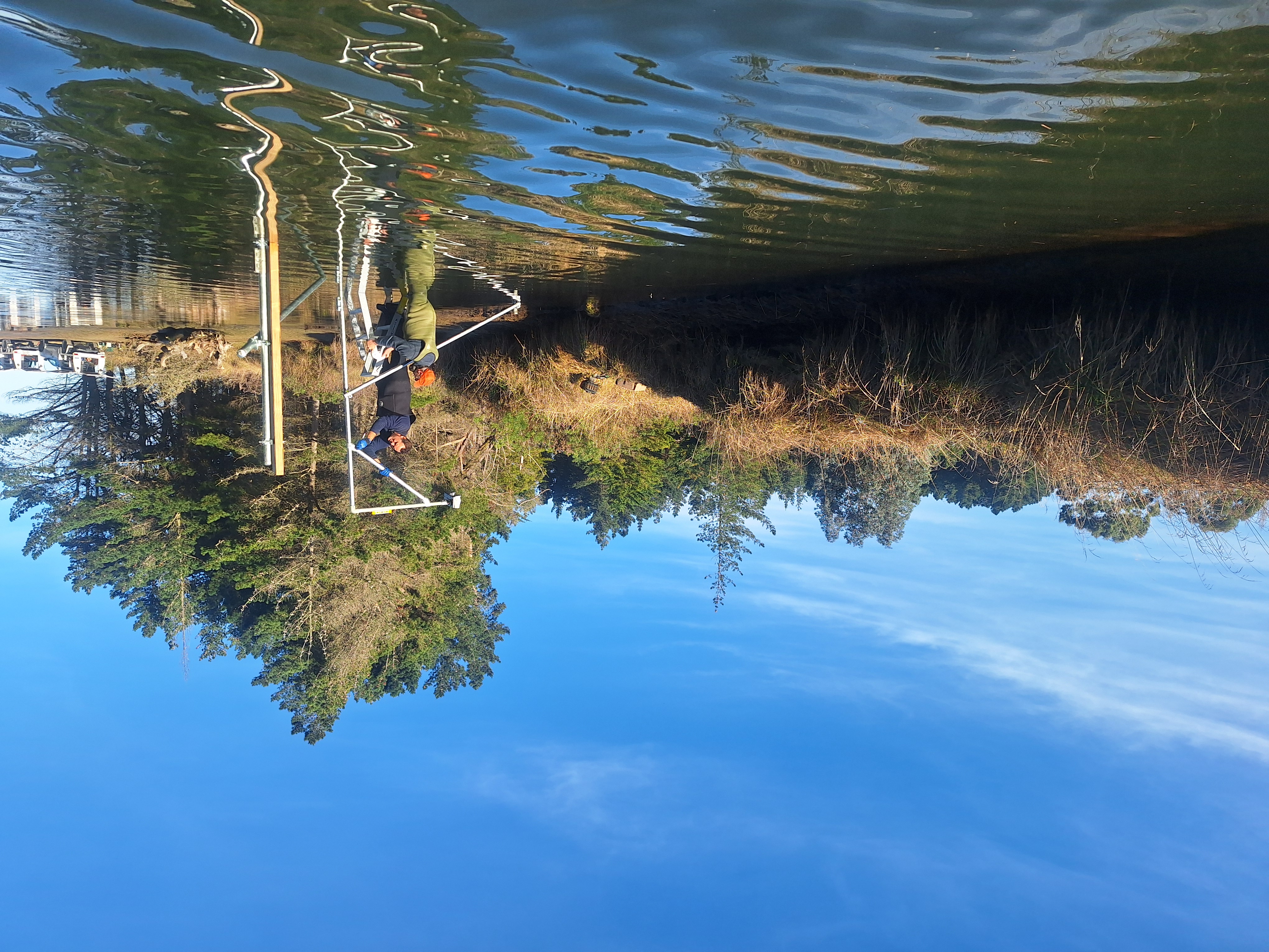
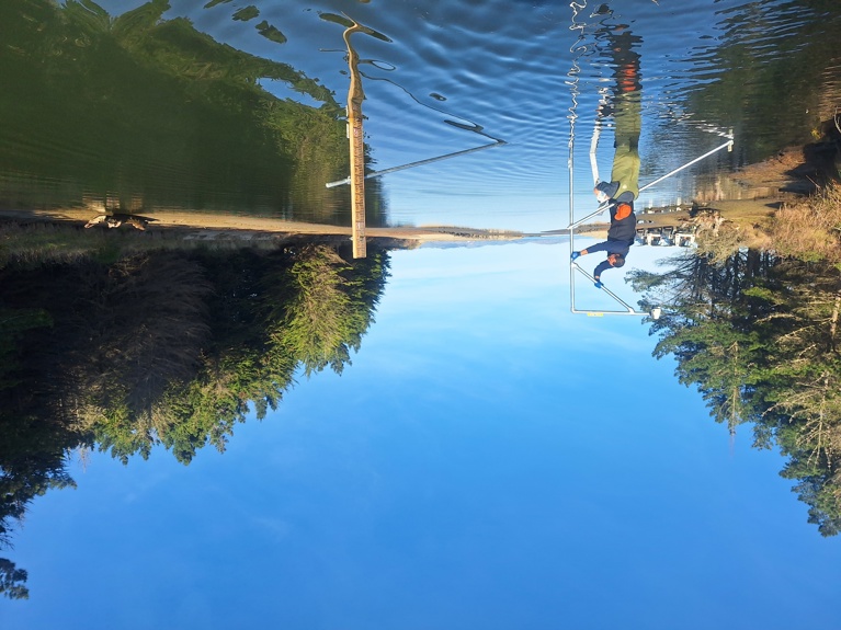
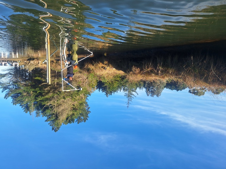
The sensors, costing $1250 plus GST per unit, are permanent and are powered by long life Lithium Thionyl batteries, and can transmit the data automatically via their inbuilt cellular modems.
Mr Hannah says the sensors measure the distance between the radar and the water surface using high-frequency electromagnetic (radar) waves, facing downward.
The data will assist with better management of estuary, river and stream mouths. The ORC will use this data for assessing whether river mouths need to be visited, and what works may need to be considered.
ORC’s General Manager, Science and Resilience, Tom Dyer, says “The sensors will enable better decision making around when river mouth opening is required, ultimately meaning better outcomes for communities through flood protection and the environment.”
Mr Hannah highlighted the sensors were manufactured locally, produced by Dunedin tech company Hilo, which was gaining international recognition for providing all-in-one tech solutions for environmental monitoring.
“They pack a lot of up-to-the-minute technology in a very small cost-effective package,” he says.
The data will eventually be publicly accessible through ORCs environmental data web portal, Mr Hannah says.
Estuaries and streams receiving sensors this month:
- Tokomairiro Estuary at mouth
- Sawmill Creek at Moturata Rd
- Otokia Creek at Brighton Rd Bridge
- Taylors Creek at mouth
- Kaikorai Estuary at mouth
- Tomohawk Lagoon at causeway
- Tomahawk Lagoon Upper at causeway
- Hoopers Inlet at mouth
- Drivers Creek at mouth
- Hawkesbury Lagoon at mouth
The total 26 new water level recording stations, to be installed by end of month, including some flood-bank related areas:
|
Lake Ascog at Ascog Pump
|
|
Contour Channel at Otokia Rd West Bridge
|
|
Contour Channel at Miller Rd Bridge
|
|
Contour Channel at Huntly Rd Bridge
|
|
Contour Channel at Henley Berwick Bridge
|
|
Scroggs Pump
|
|
Owhiro at Scroggs Pump.
|
|
A1 Drain at A1 Gravity Outfall
|
|
Taieri River at A1 Gravity Outfall
|
|
Baratta Creek at Kaka Point Highway Bridge
|
|
Smith Rd Pump Drain
|
|
Barnego Pump Drain
|
|
Waitapeka Stream at Owaka Highway Bridge
|
|
Waitapeka Outfall at Gravity Gates
|
|
Puerua River at Owaka Highway Bridge
|
|
Puerua River at Kaka Point Highway Bridge
|
|
Tokomairiro Estuary at mouth
|
|
Sawmill Creek at Moturata Rd
|
|
Otokia Creek at Brighton Rd Bridge
|
|
Taylors Creek at mouth
|
|
Kaikorai Estuary at mouth
|
|
Tomohawk Lagoon at causeway
|
|
Tomahawk Lagoon Upper at causeway
|
|
Hoopers Inlet at mouth
|
|
Drivers Creek at mouth
|
|
Hawkesbury Lagoon at mouth
|