-
-
-
-
-
-
-
-
Project timeline
-
-
-
-
December 2021–July 2022
- Project formally announced
- Project design and procurement plan under development
- Partnership model developed with Kāti Huirapa Rūnaka ki Puketeraki
- Developing detailed project action plan
- Partnership group established
October–December 2022
- Input on project delivery sought from communities of Te Hakapupu
- Meet and greet between the community and the project team at Familtons’ Farm, end of Patterson Road, Palmerston, 16 October 3pm-6pm
- Conversations begin with rūnaka and community, including landowners, about their aspirations and ideas — these begin shaping the catchment action plan
- Work begins to better define the environmental problems and how they can best be remedied, including collecting environmental baseline data and initial assessment of sediment movement in the catchment
January–March 2023
- Community Meeting in Waikouaiti with landowners and community, 15 February 7pm-9pm
- Begin work with landowners to protect riverbanks through planting and fencing
- Engagement plan completed
- Work alongside rūnaka and community to develop a water quality monitoring framework
- Set up a forestry working group with forest managers
- Decisions set on baseline data to be collected for environmental monitoring
June 2023
- Planting and fencing begin
- Environmental baseline data collection underway
- Water quality monitoring begins (ongoing)
- Forestry Action Plan development begins
- Citizen Science Plan complete (community monitoring)
- Cultural Health Monitoring underway to identify and monitor important values for Mana Whenua such as sense of place, Inaka spawning sites and weaving resource
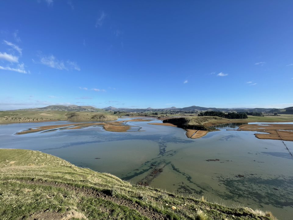
- Waka installed as an online real-time web tool to enable the community and rūnaka to monitor water quality at any time at various locations throughout the catchment. These tools will measure temperature, conductivity, dissolved oxygen, pH, and turbidity. The information is collected every 15 minutes and presented on a website dashboard.
- Sediment data collection for the catchment complete. This enables priority actions and interventions to be identified to protect natural values downstream from potential sediment hot spots.
September 2023
- Catchment action plan drafted
- Planting and fencing continues
December 2023
- Work with rūnaka and community to monitor water quality and other environmental health indicators (ongoing)
- Fish passage barrier assessments begin
June 2024
- Planting and fencing continue
- Cultural Health Monitoring continues
- Reporting of water quality and ecosystem monitoring
- Science Communications
- Sediment traps completed in priority property for water quality protection
- One fish passage barrier improved
- Project succession planning underway
March 2025
- Catchment Action Plan (living document) finalised
April 2025
- Landowner agreements complete
- Planting and fencing continue
- Fish passage barrier mitigations complete
June 2025
- Final report about water quality and ecosystem monitoring
- Science Communications
- Project close
Aukaha’s planting team carried out the majority of the planting, with landowners also rolling up their sleeves and planting a large number of natives on their land. There have also been several community and school planting days held to give locals and those with an environmental passion an opportunity to assist with plantings of natives around waterways in the catchment.
The plants have been grown and supplied by Kāti Huirapa Rūnaka ki Puketeraki’s community nursery and Ribbonwood Nurseries in Dunedin and include such species as coprosma spp., carex spp., harakeke/flax and tī kōuka/cabbage tree.


Analysis of river lengths and fencing lengths
Toitū Te Hakapupu project required completion of 20 km fencing of water ways as part of its KPIs agreed to in the funding deed.
To estimate how much of the main stems of the river was available to fence, the ORC project team developed a map showing the length of the main stem of the river.
Te Kakapupu/Pleasant River and tributaries - river lengths
Waterway (land use)
as per the map above
| Hakapupu / Pleasant River (forestry) | 10 km |
| Hakapupu / Pleasant River (pastoral) | 12 km |
| Owhakaoho / Trotters Creek (forestry) | 14 km |
| Owhakaoho / Trotters Creek (pastoral) | 6 km |
| Tumai (pastoral) | 2 km |
| Watkin Creek (forestry) | 5 km |
| Watkin Creek (pastoral) | 7 km |